

Dual-Use Platform
IntelEO™ supports mission-critical decisions across domains—urban mobility, energy, defense, disaster response—through modular services, secure hybrid deployments, technical architecture aligned with STANAG requirements, and compliance with ISO 27001, GDPR, and the INSPIRE Directive.
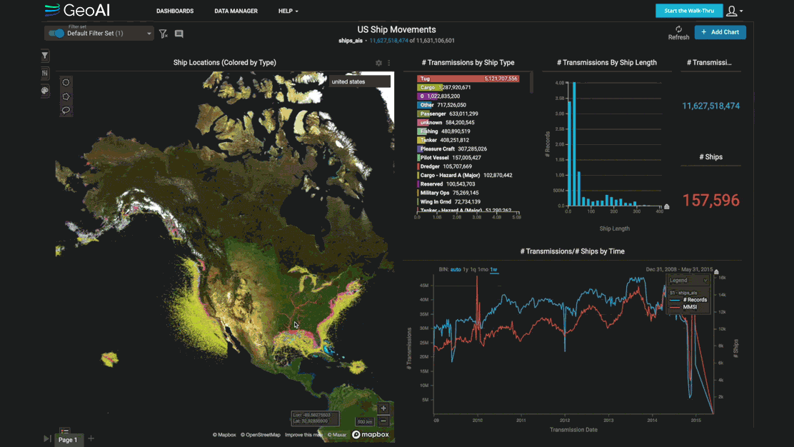
Real-Time Earth Data to Action
The platform fuses satellite, drone, IoT and sensor data into real-time dashboards, predictive alerts, and multi-layered analytics pipelines—using microservices, AI/ML engines, and automated workflows.
Hybrid Deployment
IntelEO™ runs on cloud, private infrastructure, or edge devices (Jetson, FPGA, mobile GIS), enabling operations even in bandwidth-limited or classified environments.
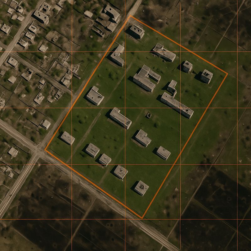
AI-Enhanced Modular Architecture
Built around composable services, IntelEO™ unifies the entire geospatial workflow—from blueprint design to monitoring and analysis. Each component is containerized, API-first, and orchestrated for scalability, automation, and operational impact.