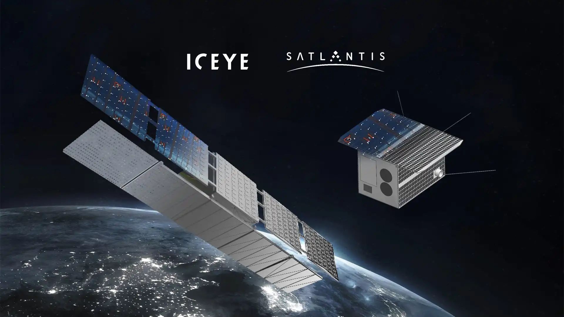
IVSEN (Integrated VHR Satellite for Energy Networks) is an ESA InCubed activity that designs a next-generation Earth Observation microsatellite optimised for scalability, ease of assembly, weight and cost. Its mission is to provide timely, affordable Very High Resolution (VHR) data and an advanced satellite-based monitoring solution tailored to utilities and energy infrastructure operators.
Today, grid operators face rising challenges: vegetation encroachment around power lines causing outages and wildfire risk, damage after extreme weather events, and limited visibility over vast, distributed assets. Traditional inspections—manual patrols, helicopters or drones—are costly, slow and hard to scale. IVSEN addresses these pain points with a dedicated sub-0.5 m VHR satellite, optimised to image linear infrastructures and deliver actionable, repeatable intelligence for energy networks across Europe and the Americas.


IVSEN is developed by a consortium led by SATLANTIS, together with Alén Space, DHV Technology, and GeoAI, combining advanced space engineering with high-impact analytics for energy networks. GeoAI leads the Data Segment, transforming Very High Resolution satellite imagery into operational intelligence for utilities.
Drawing from its experience in geospatial AI, infrastructure monitoring and digital twins, GeoAI develops the full analytical chain:
- vegetation encroachment detection,
- storm and weather damage assessment,
- structural anomaly detection,
- risk anticipation models for transmission and distribution corridors.
These analytics are delivered through 3D environments and interactive dashboards, enabling operators to assess asset condition, identify risks and plan interventions. The system is designed to integrate seamlessly into IntelEO, GeoAI’s platform for large-scale monitoring and simulation. This allows utilities to combine satellite insights, ground measurements, and operational data into a single decision-ready environment, supporting a shift from reactive maintenance to predictive, risk-aware grid management.
IVSEN is conceived as a scalable, exportable model for space-enabled utility intelligence. Rather than a one-off mission, it defines a full methodology: a microsatellite designed for rapid production, a powerful VHR payload, and a modular analytics engine adaptable to new regions and infrastructures.
For utilities, this architecture offers a turnkey, continuous monitoring service capable of reducing costs, improving safety and increasing grid resilience under climate and operational stress. For GeoAI, it serves as a strategic testbed to refine AI models, risk-detection pipelines and digital twin environments that will later be deployed across the IntelEO ecosystem.
As climate change drives more frequent extreme events, IVSEN establishes a new way for operators to monitor and protect their networks: by combining Very High Resolution satellite data, AI-driven analytics and predictive modelling into a single, reliable and scalable solution.
- Provide timely, cost-effective VHR satellite data tailored to utilities and energy infrastructure operators.
- Replace costly, fragmented inspections with a scalable, satellite-based monitoring solution for transmission and distribution networks.
- Detect vegetation encroachment, structural anomalies and storm damage along power lines using AI-based analytics.
- Develop digital twins and 3D environments of energy assets to support planning, prioritisation and risk assessment.
- Integrate IVSEN data and analytics into GeoAI’s IntelEO platform, enabling utilities to combine satellite insights with existing OT/IT systems.
- Deliver a replicable, industry-grade solution that can scale across energy networks in Europe and the Americas.
Tutorial: Masked Portfolio Splitscreen Scroll Animation
In this Webflow tutorial, Jonas Arleth shows how to create a masked scroll animation with a split screen effect over the text. He explains how to analyze and recreate the animation. He covers various elements such as navigation, text shift and background color. He also shows how to move the text in the animation and gives tips for optimization.
Seen at: https://pioneer-portfolio.webflow.io
Technologies Used
- Very High Resolution EO satellite (sub-0.5 m) for infrastructure imaging
- Agile ADCS, high-rate communications, optimised power & thermal control
- AI-driven analytics for vegetation, damage and risk assessment
- Digital twins & 3D visualisation of energy assets
- Integration with GeoAI’s IntelEO platform for dashboards, alerts and decision support
Key Results
- Design of a VHR EO microsatellite platform optimised for energy network monitoring and small-satellite launches.
- Deployment of a proprietary telescope achieving sub-0.5 m resolution in a compact, scalable form factor.
- Development of an end-to-end data and analytics stack, from acquisition to dashboards and reporting, dedicated to utility use cases.
- Creation of AI models and digital twins for infrastructure condition assessment, vegetation management and risk anticipation.
- Validation of a commercially viable EO product under ESA’s InCubed programme, ready to scale to new regions and customers.
Impact
- Reduced inspection costs through satellite-driven automation.
- Greater resilience to storms, wildfires and extreme weather.
- Predictive maintenance replacing reactive interventions.
- Improved safety and reduced infrastructure failures.
- A scalable, space-based solution for global utility monitoring.


